

Since 2006, NASA's Mars Reconnaissance Orbiter (MRO) has been orbiting Mars, currently circling approximately 300 km (187 mi) above the Martian surface. On board the MRO is HiRISE, the High Resolution Imaging Science Experiment camera, which has been photographing the planet for several years now at resolutions as fine as mere inches per pixel. Collected here is a group of images from HiRISE over the past few years, in either false color or grayscale, showing intricate details of landscapes both familiar and alien, from the surface of our neighboring planet, Mars.
(Boston Globe, Oct 2009)
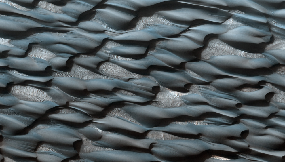
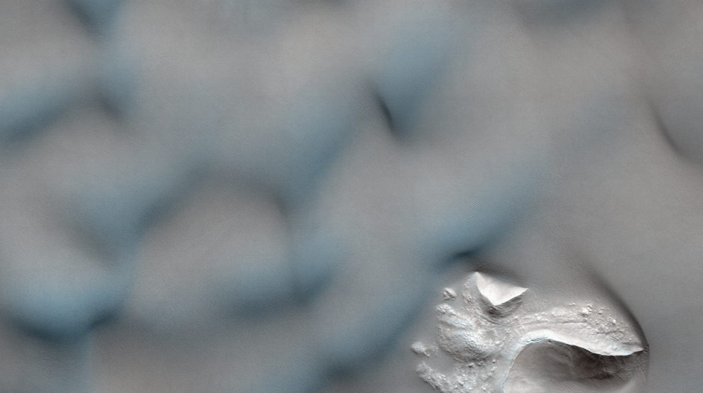
Part of the Abalos Undae dune field. The sands appear blueish because of their basaltic composition, while the lighter areas are probably covered in dust.

Victoria Crater at Meridiani Planum. The crater is approximately 800 meters (about half a mile) in diameter. Layered sedimentary rocks are exposed along the inner wall of the crater, and boulders that have fallen from the crater wall are visible on the crater floor.
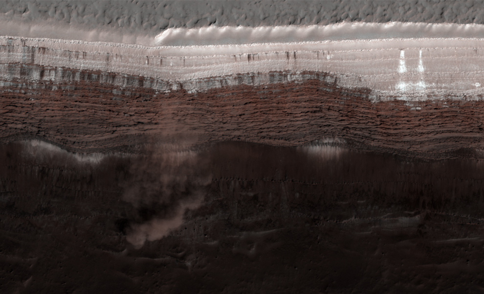
Avalanches on Mars' North Polar Scarps. Material, likely including fine-grained ice and dust and possibly including large blocks, has detached from a towering cliff and cascaded to the gentler slopes below. The cloud is about 180 meters (590 feet) across and extends about 190 m (625 ft) from the base of the steep cliff.
Scalloped sand dunes in the southern hemisphere of mars, displaying seasonal frost on the south-facing slopes, which highlights some of the regular patterns, as the frost forms only on parts of the ripples.
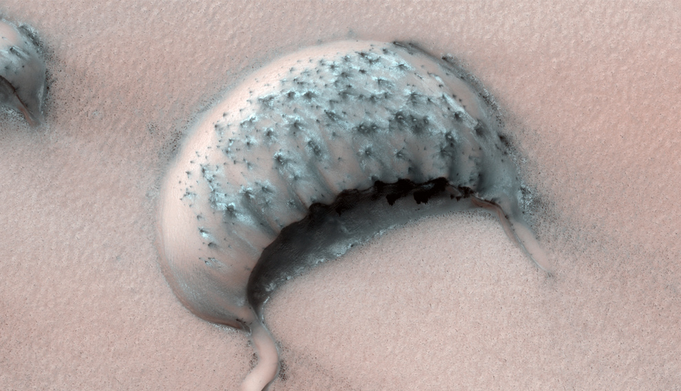
A large barchan (crescent-shaped) dune, in a region where some dunes have been observed shrinking over several years.
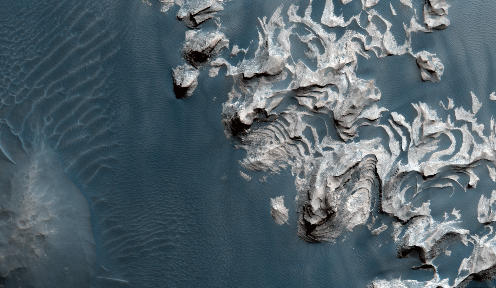
Dunes in a crater in Newton Basin that are eroding or covering a more coherent rock structure below.
Light-toned layered deposits along the floor of Becquerel Crater, an impact crater in Arabia Terra. The deposits consist of stacked, repeating layers which consistently appear to be only a few meters thick. The surface of the deposits also appears to be cracked into blocks a meter or so in length.

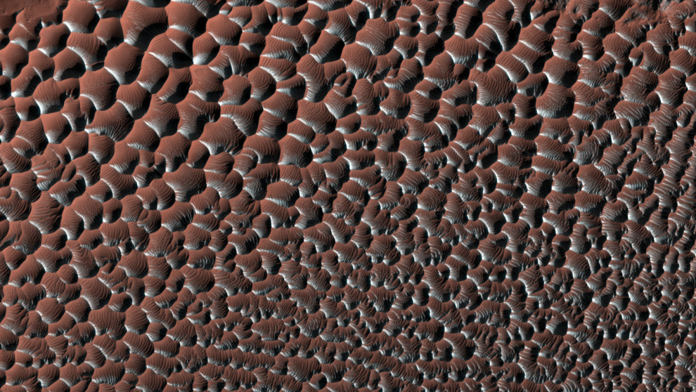
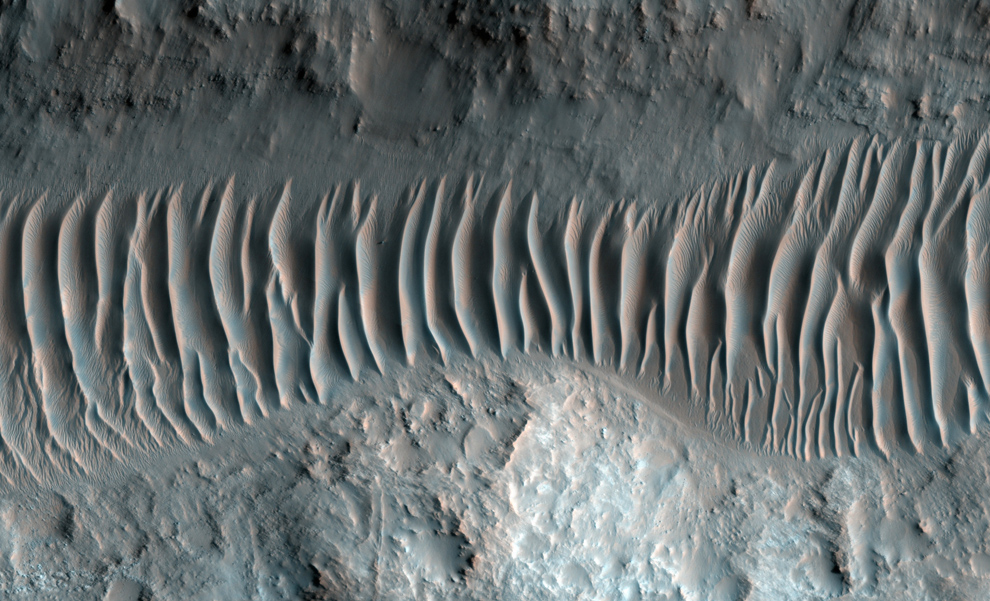
Gullies, streaks, ripples and dust devil tracks on Russell Crater Dunes.
Dunes line a valley floor in Ladon Valles, an outflow channel forming a segment of a larger system that heads in Argyre basin to the south and eventually links up with the larger Ares Valles outflow channel to the north.

Fuzzy-looking landscape near Tharsis Montes. Some parts of this image may appear out-of-focus at first. However, sharper-looking features such as the visible craters show that the fuzzy look is not an artifact of the image, but rather indicative of an extremely smooth surface. That smoothness is due to a thick layer of dust blanketing the landscape.
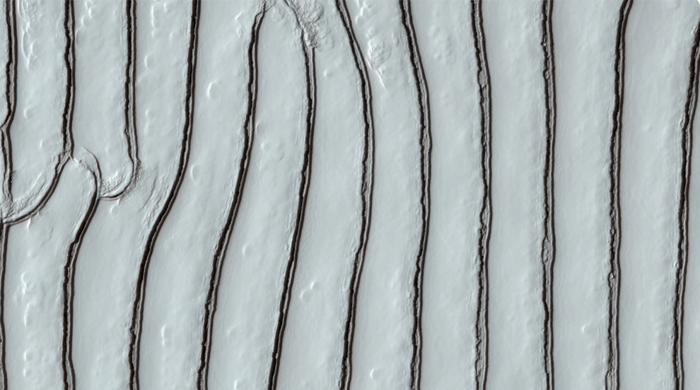
A sawtooth pattern in carbon dioxide ice in Mars' south polar region.

A Sample of flows and other landforms in Icaria Planum.
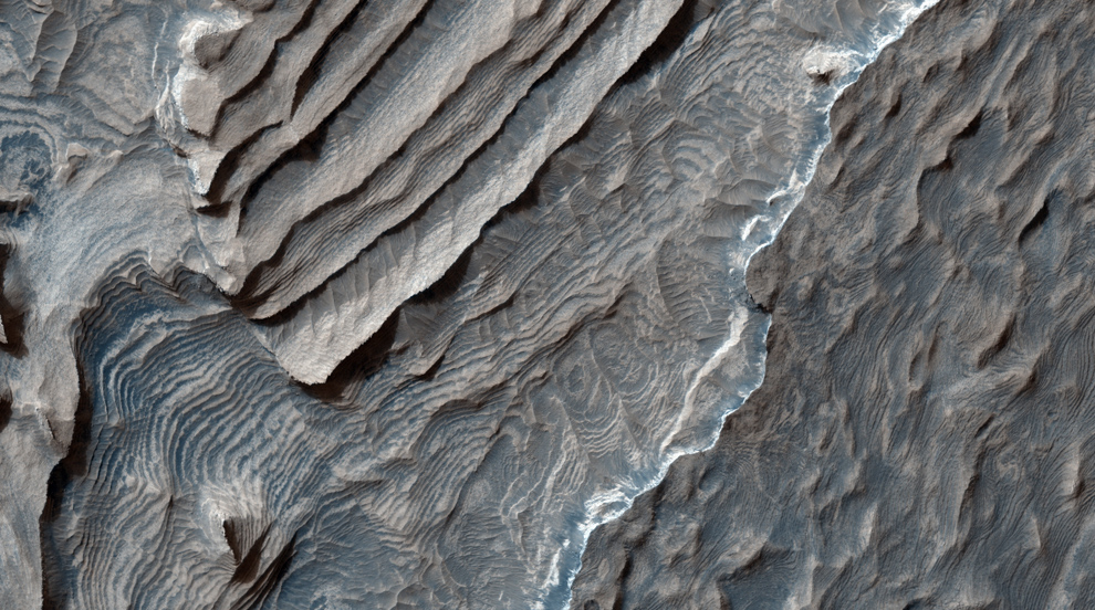
A large outcrop of layered rock in Aureum Chaos, an area that has apparently collapsed, leaving a region of irregular knobs and hills. Unlike many of the knobs, the light outcrop shows distinct, nearly horizontal layers. This may indicate that it was deposited after the collapse of the Chaos.
~ ~ ~ ~ ~ ~ ~ ~ ~
Plus, precesljajte glavne atrakcije Marsa uz pomoc Google Mars. Google Earth is so yesterdays' news... Ne, bez sve sale, GOOGLE MARS!!!
.............................................................................

magicno !
ОдговориИзбришиhvala :)
Art on Mars ustvari... :) bas dobro.
ОдговориИзбришиuh, kako sam uzivala.
ОдговориИзбриши